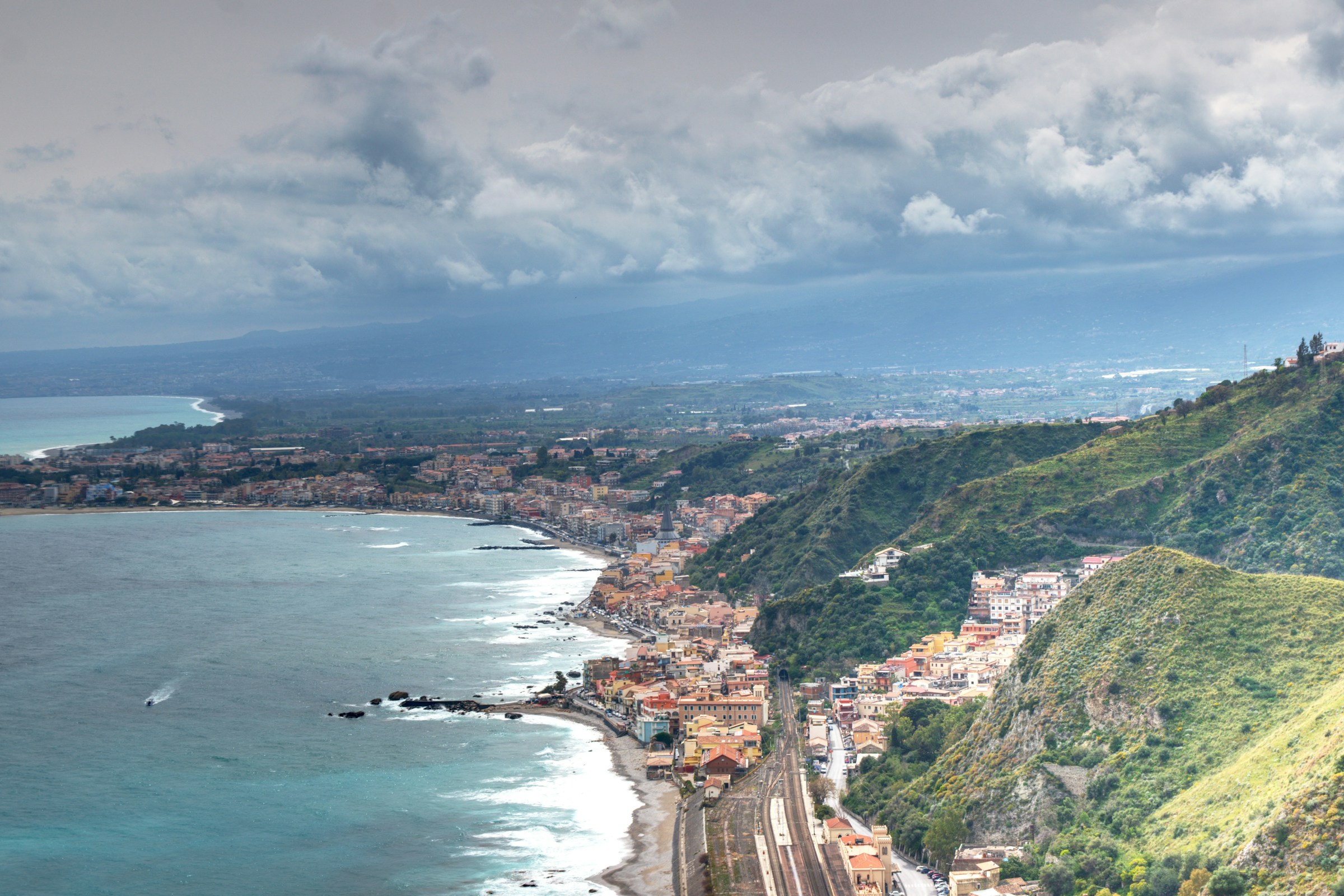
Coastlines are changing - shifting the distribution of surge risk to property & infrastructure.
To protect businesses and communities, precise and up-to-date insight on coastal flooding is critical.
Ocean Ledger is a specialist geospatial service provider offering a stochastic surge model based on proprietary, cutting-edge methods that extract present-day and historical shorelines, seabed and natural defenses; therefore identifying critical drivers of coastal flood severity.
The company delivers a transparent view on coastal physical and environmental risk to provide assessments for insurance & property valuation while reducing resources on large site surveys.
To deliver transparent and meaningful insight to public and private clients exposed to financial volatility from extreme weather, erosion and coastal flooding.
Our team has a breadth and depth of experience across physical & environmental spatial modelling, remote sensing, machine learning and financial services. Our scientific foundations are rooted in 8 years of R&D at the German Aerospace Center.

Senior Geospatial Engineer

