
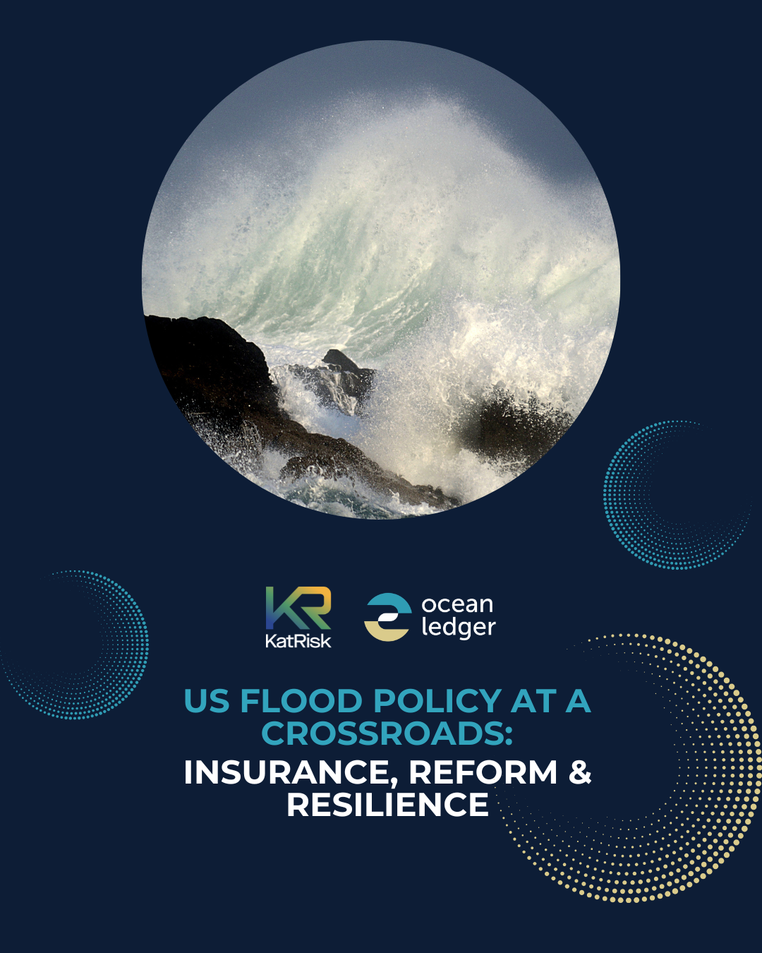
KatRisk and Ocean Ledger look at the changes reshaping the U.S. flood insurance market.
KatRisk and Ocean Ledger look at the changes reshaping the U.S. flood insurance market.
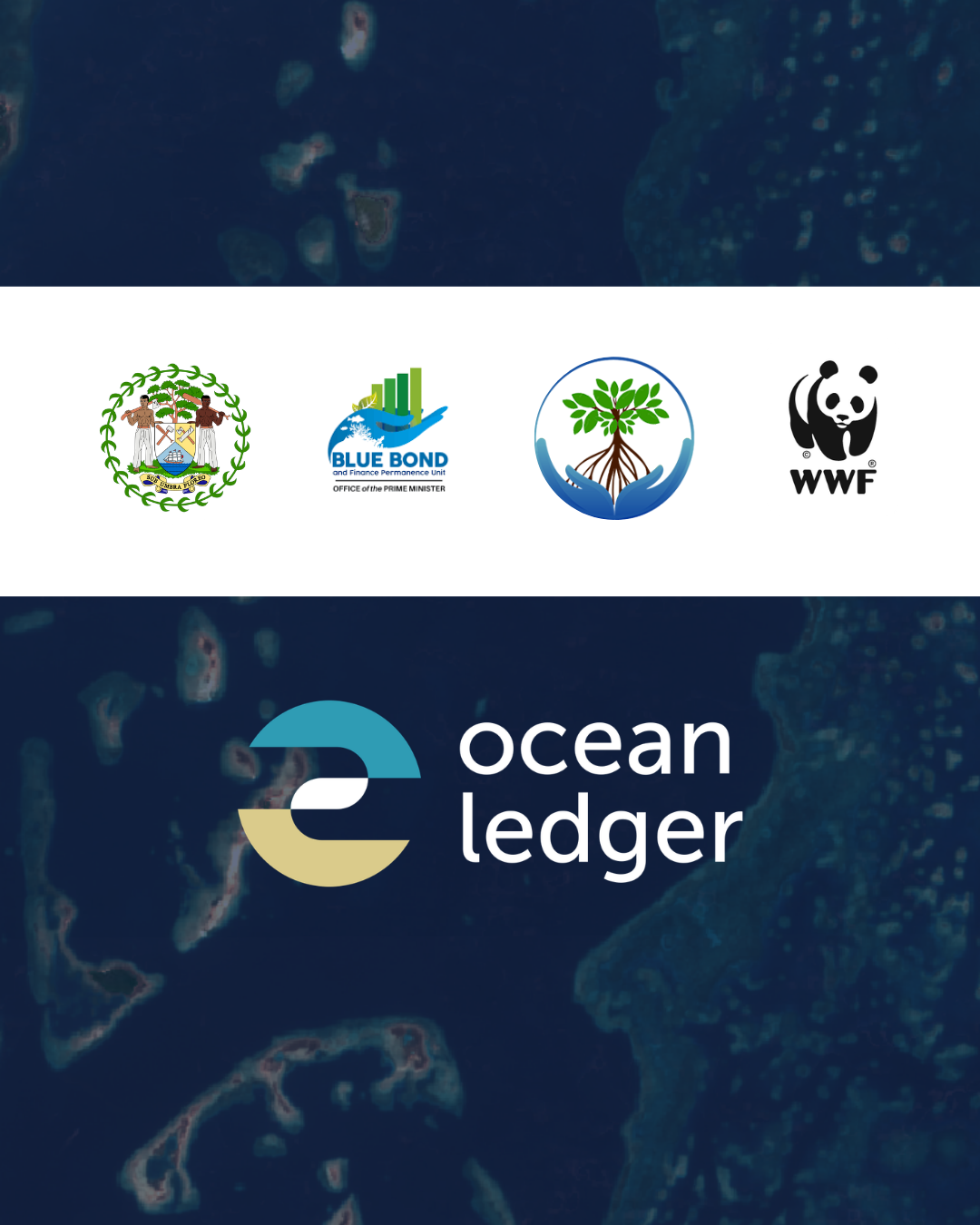
Ocean Ledger used the power of geospatial modelling to map over 7,800 km² (3,000 sq miles) of Belize’s coastline.
Ocean Ledger used the power of geospatial modelling to map over 7,800 km² (3,000 sq miles) of Belize’s coastline.
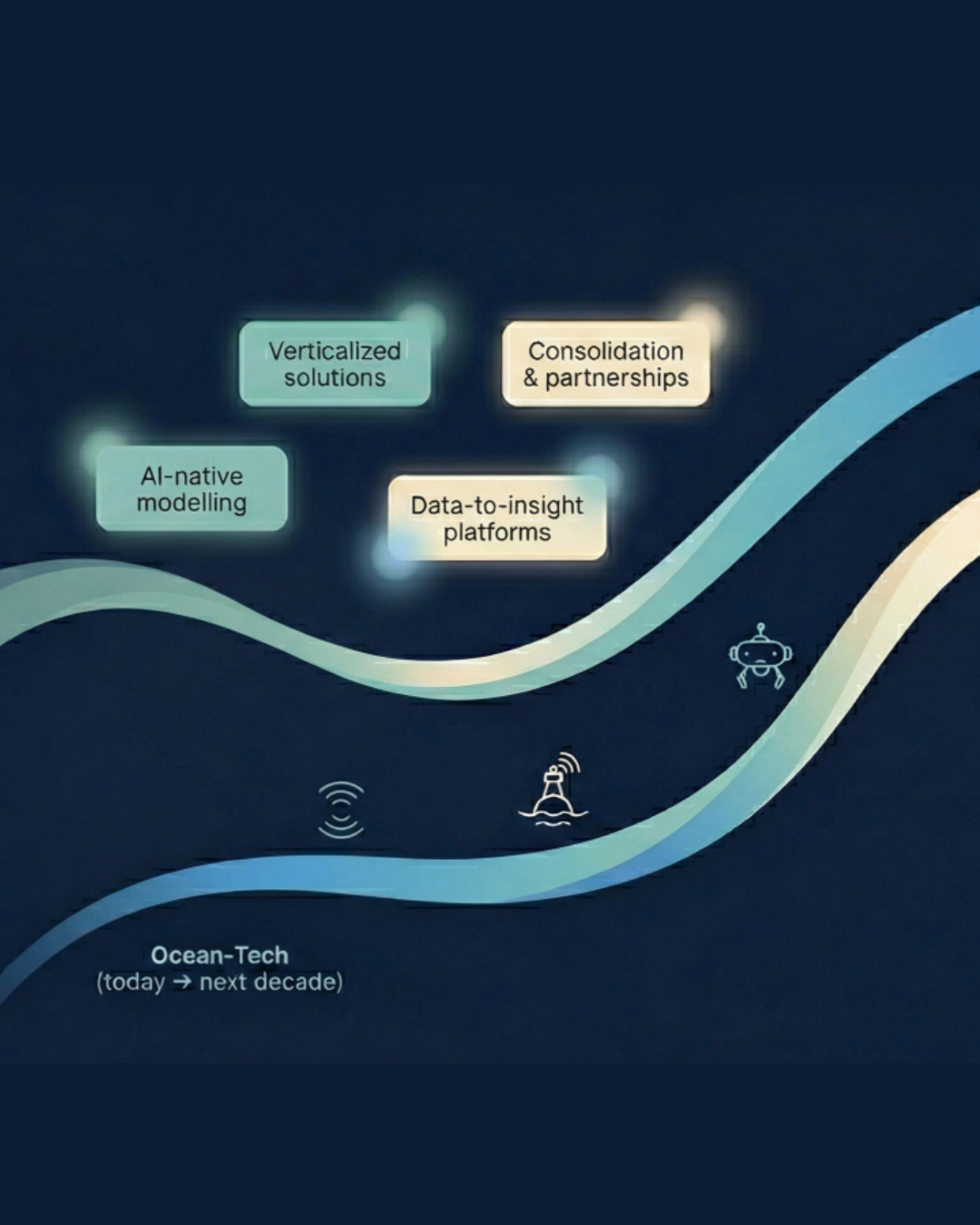
The ocean-tech sector is at the beginning of the same path EO travelled - only with more urgency, more private capital, and a clearer roadmap of what not to do.
The ocean-tech sector is at the beginning of the same path EO travelled - only with more urgency, more private capital, and a clearer roadmap of what not to do.
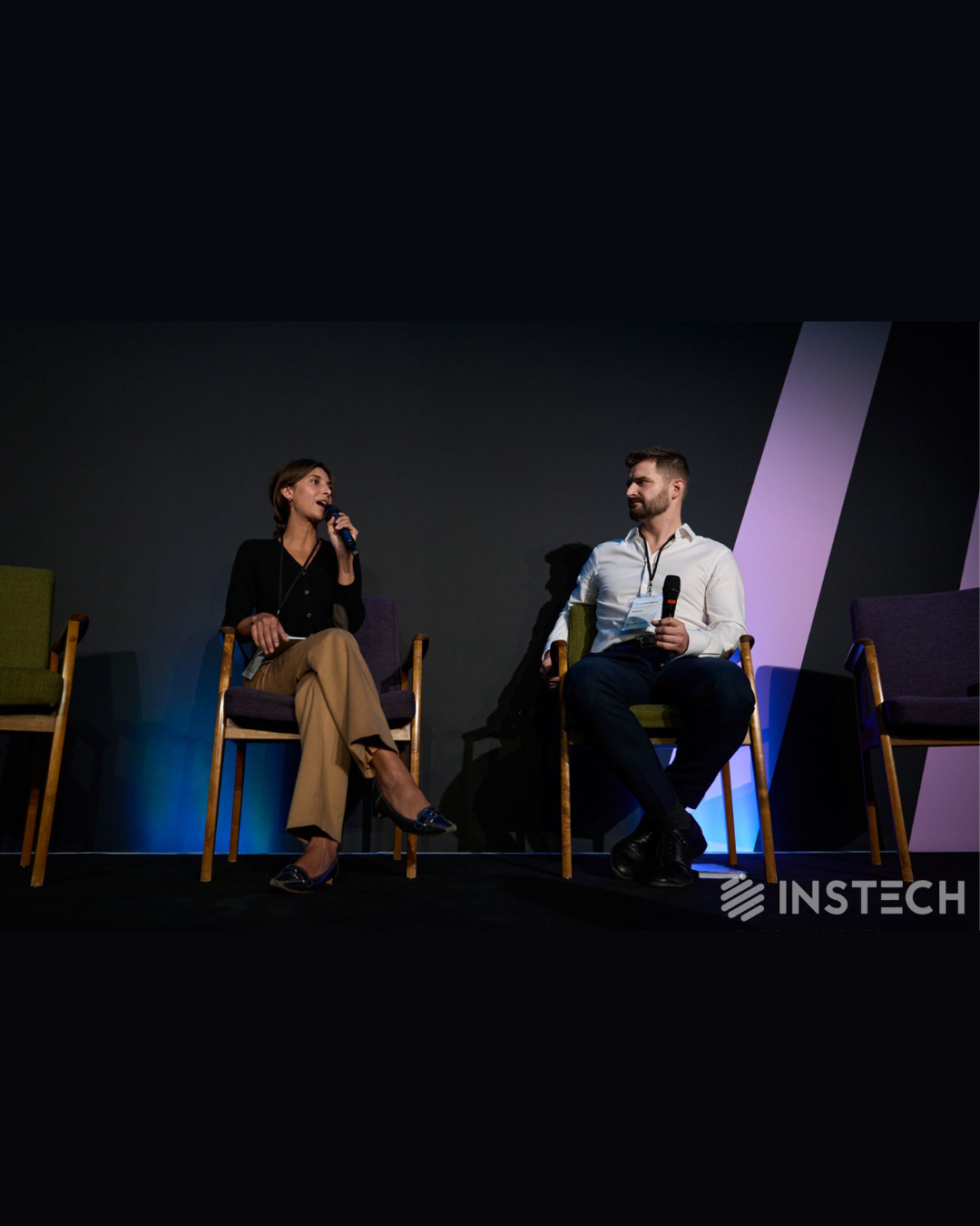
Ocean Ledger joins InsTech with over 30,000 people collaborating, shaping the future of climate risk and leading innovation in insurance, data, tech and analytics through events and insights.
Ocean Ledger joins InsTech with over 30,000 people collaborating, shaping the future of climate risk and leading innovation in insurance, data, tech and analytics through events and insights.
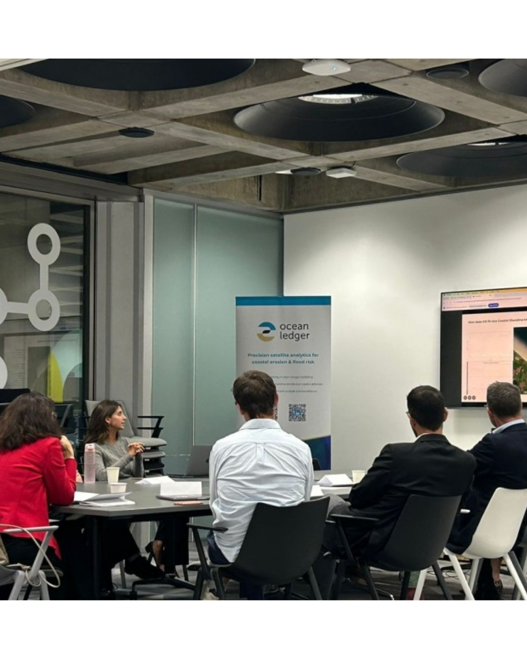
A couple of months ago, we brought insurers, banks, investors and risk modeller together and asked a simple question: how much trust do you have in your current approach to analyze coastal inundation?
A couple of months ago, we brought insurers, banks, investors and risk modeller together and asked a simple question: how much trust do you have in your current approach to analyze coastal inundation?
Ocean Ledger was invited to explain how start-ups are reshaping catastrophe modelling by integrating environmental data, coastal ecosystems and natural defences into how we define vulnerability.
Ocean Ledger was invited to explain how start-ups are reshaping catastrophe modelling by integrating environmental data, coastal ecosystems and natural defences into how we define vulnerability.
Coastal erosion is a major climate risk largely ignored and mispriced by financial and insurance systems. We share our thoughts on measuring chronic risk to fund adaptation before the damage is done.
Coastal erosion is a major climate risk largely ignored and mispriced by financial and insurance systems. We share our thoughts on measuring chronic risk to fund adaptation before the damage is done.

Our new newsletter dives into coastal change through data. Click the thumbnail to follow as our team shares insights on trends, solutions, and ideas across the coastal zone.
Our new newsletter dives into coastal change through data. Click the thumbnail to follow as our team shares insights on trends, solutions, and ideas across the coastal zone.
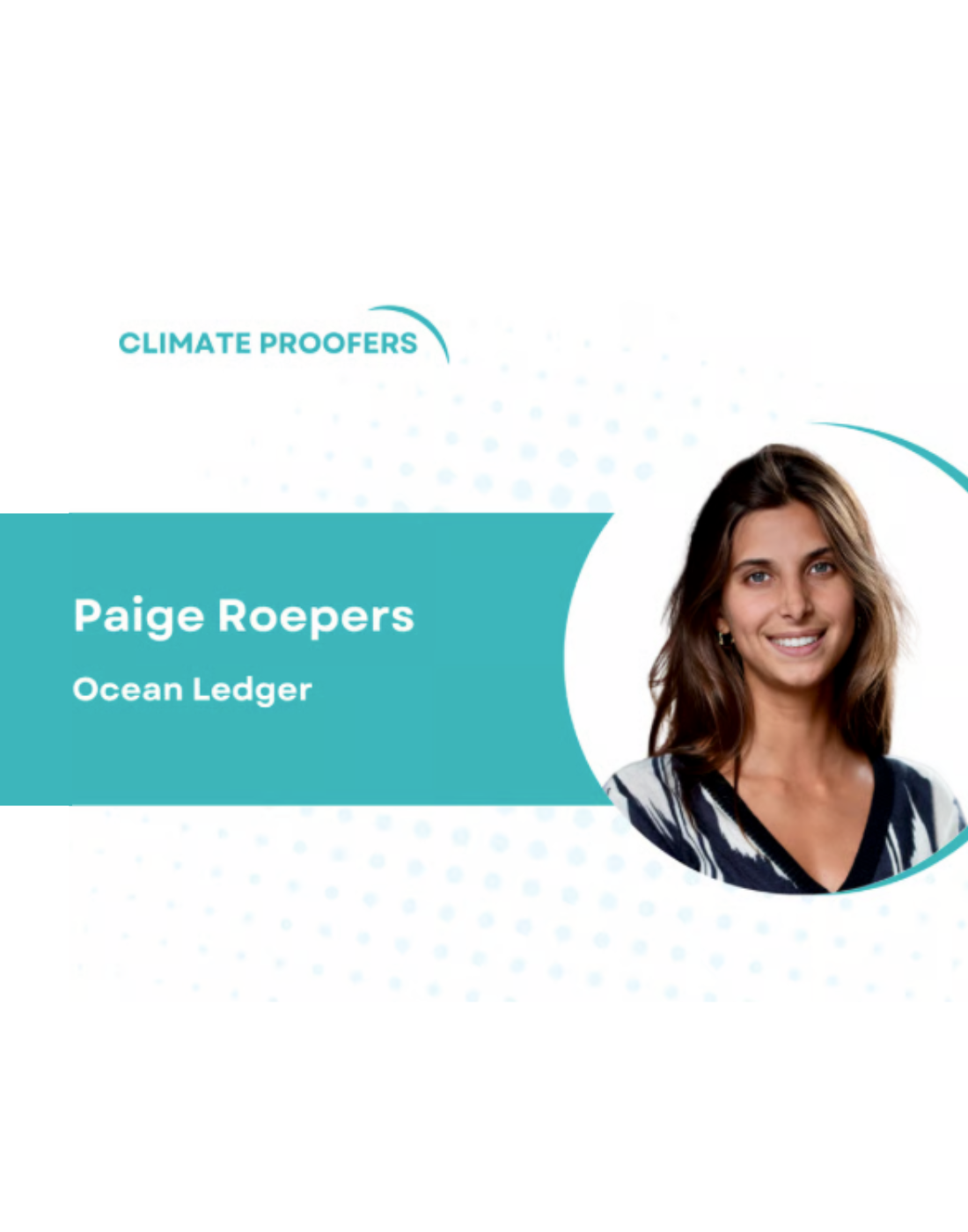
Paige shares how Ocean Ledger runs proprietary analysis on decades of shoreline and environmental change, cross-validated with government and ground truth data, to offer a measurab
Paige shares how Ocean Ledger runs proprietary analysis on decades of shoreline and environmental change, cross-validated with government and ground truth data, to offer a measurab
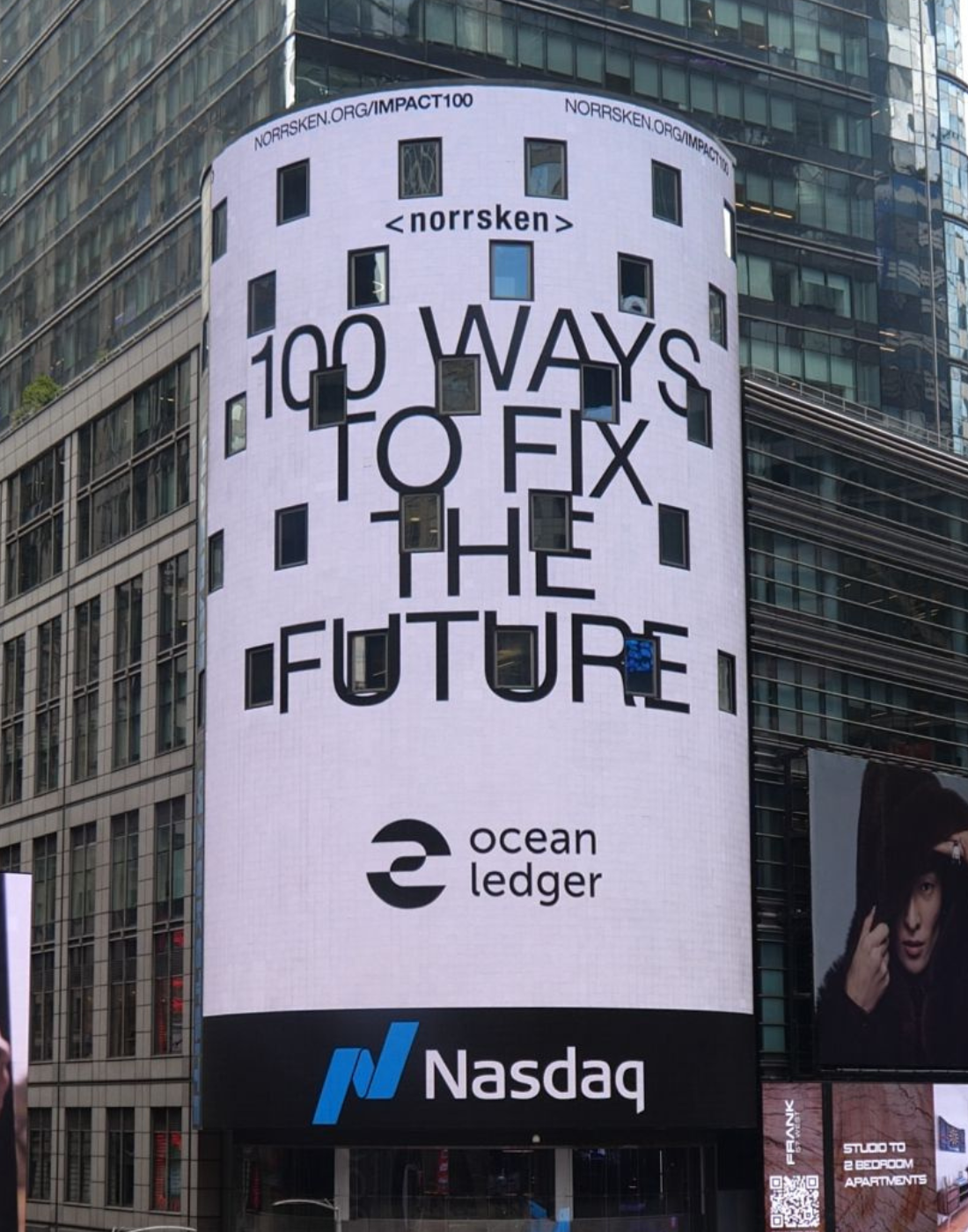
We are proud to feature in New York for the announcement of Norrsken's Impact/100 list, a list that highlights top startups promoting solutions for our future.
We are proud to feature in New York for the announcement of Norrsken's Impact/100 list, a list that highlights top startups promoting solutions for our future.
With ORRAA, we explored different approaches and challenges with assessing coastal risks that impact asset operators, carriers and lenders.
With ORRAA, we explored different approaches and challenges with assessing coastal risks that impact asset operators, carriers and lenders.
There is an opportunity for collaboration and risk-based financing with a huge protection gap, increasing severity and frequency of nat cat events, and rising affordability.
There is an opportunity for collaboration and risk-based financing with a huge protection gap, increasing severity and frequency of nat cat events, and rising affordability.
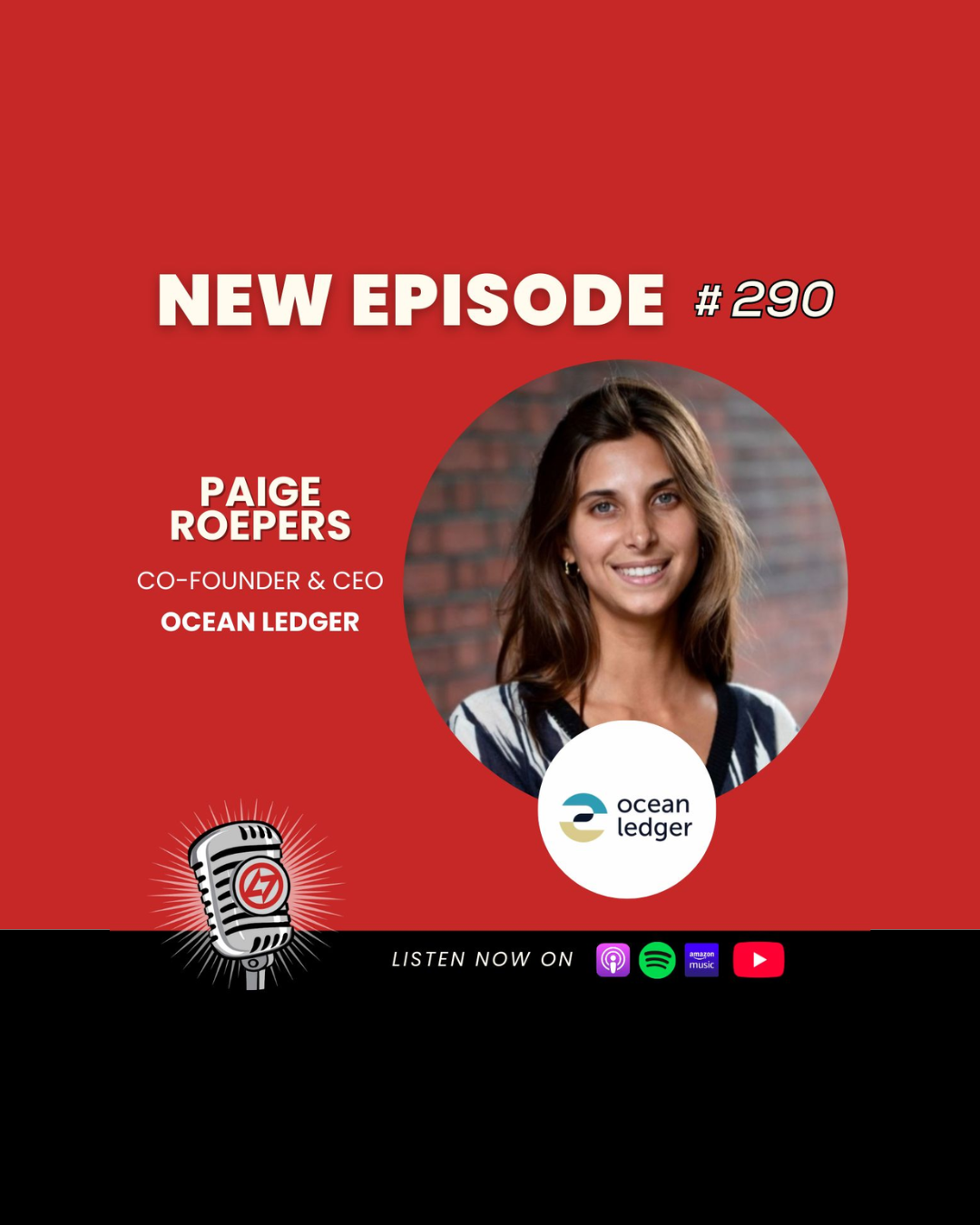
Paige shares how her passion for the ocean inspired her to build technology that uses satellite imagery and machine learning to map coastal risk, offering insurers and real estate
Paige shares how her passion for the ocean inspired her to build technology that uses satellite imagery and machine learning to map coastal risk, offering insurers and real estate
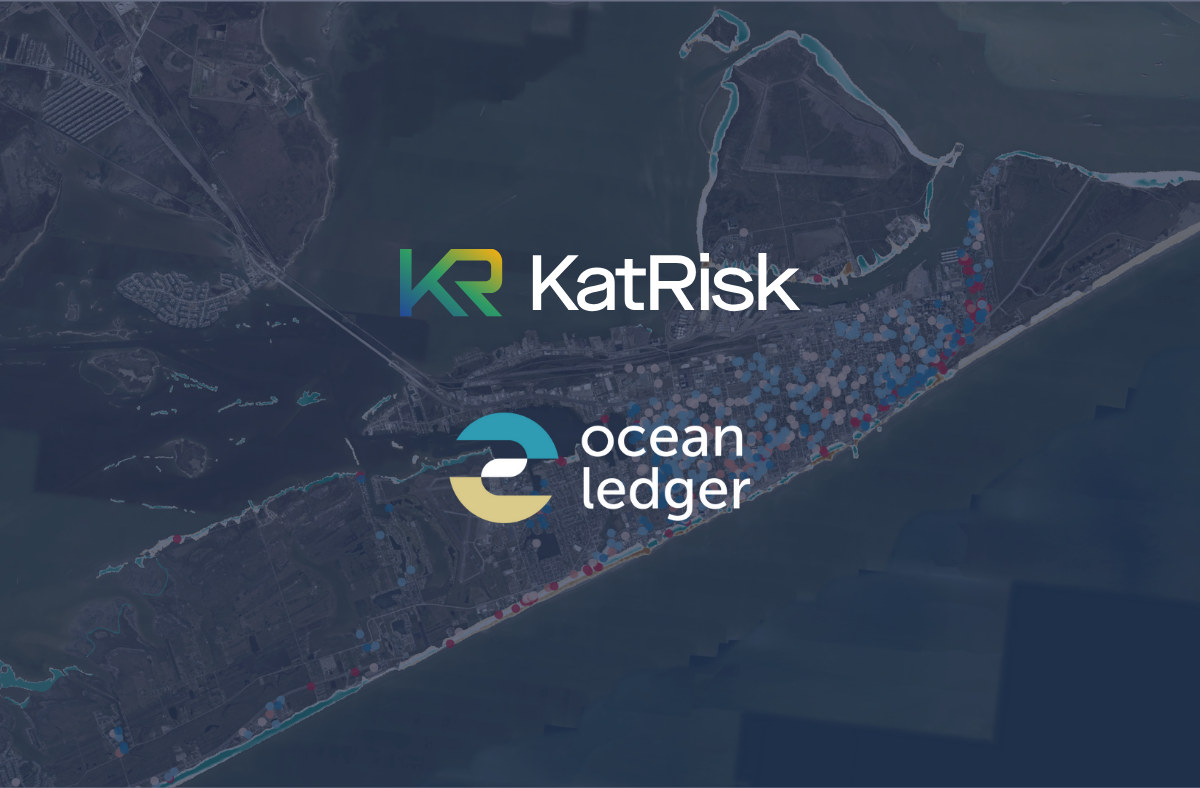
Together, we looked at how high-resolution geospatial analytics from Ocean Ledger can materially improve surge loss estimates in coastal areas.
Together, we looked at how high-resolution geospatial analytics from Ocean Ledger can materially improve surge loss estimates in coastal areas.
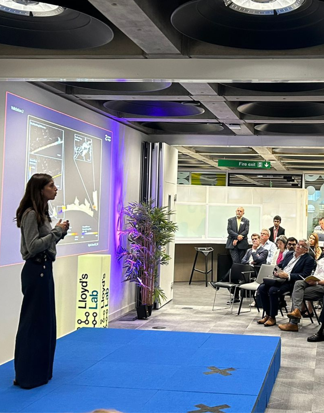
We stood before the Lloyd's market and key partners to present the achievements and learnings during the programme and shared what’s next for Ocean Ledger.
We stood before the Lloyd's market and key partners to present the achievements and learnings during the programme and shared what’s next for Ocean Ledger.

Two case studies validated that our satellite-derived products deliver more accurate loss predictions than industry benchmarks.
Two case studies validated that our satellite-derived products deliver more accurate loss predictions than industry benchmarks.

What happens when a lifelong passion for the ocean meets the world of high finance?
What happens when a lifelong passion for the ocean meets the world of high finance?
.jpeg)
Ocean Ledger attended UNOC3 and was honoured to have special accreditation with access to the Blue Zone. Paige, our CEO, shares her reflections from the event.
Ocean Ledger attended UNOC3 and was honoured to have special accreditation with access to the Blue Zone. Paige, our CEO, shares her reflections from the event.
Rising oceans and worsening seaborne tempests are chipping away at our shorelines, degrading coastal ecosystems, and putting trillions of dollars of infrastructure at risk.
Rising oceans and worsening seaborne tempests are chipping away at our shorelines, degrading coastal ecosystems, and putting trillions of dollars of infrastructure at risk.

In collaboration with Seatrees, the initiative focuses on regenerating 640 hectares of degraded mangrove forest.
In collaboration with Seatrees, the initiative focuses on regenerating 640 hectares of degraded mangrove forest.
Most flood models or sea-level rise reports do not take into account the evolution of shoreline shape (elevation), which impacts global assets exposed to inundation.
Most flood models or sea-level rise reports do not take into account the evolution of shoreline shape (elevation), which impacts global assets exposed to inundation.
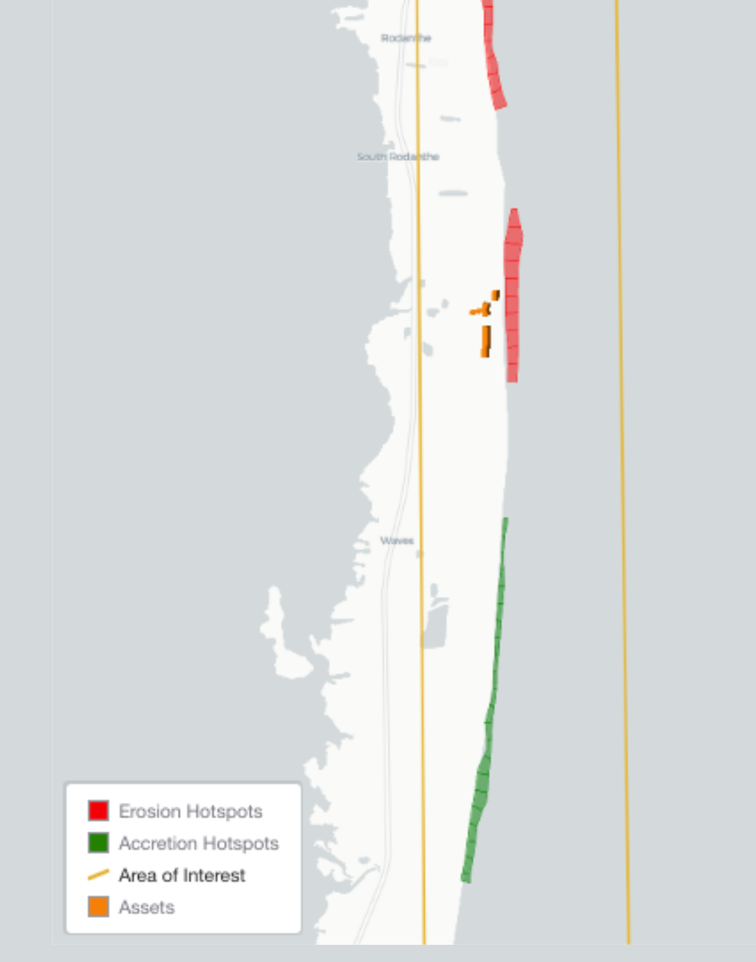
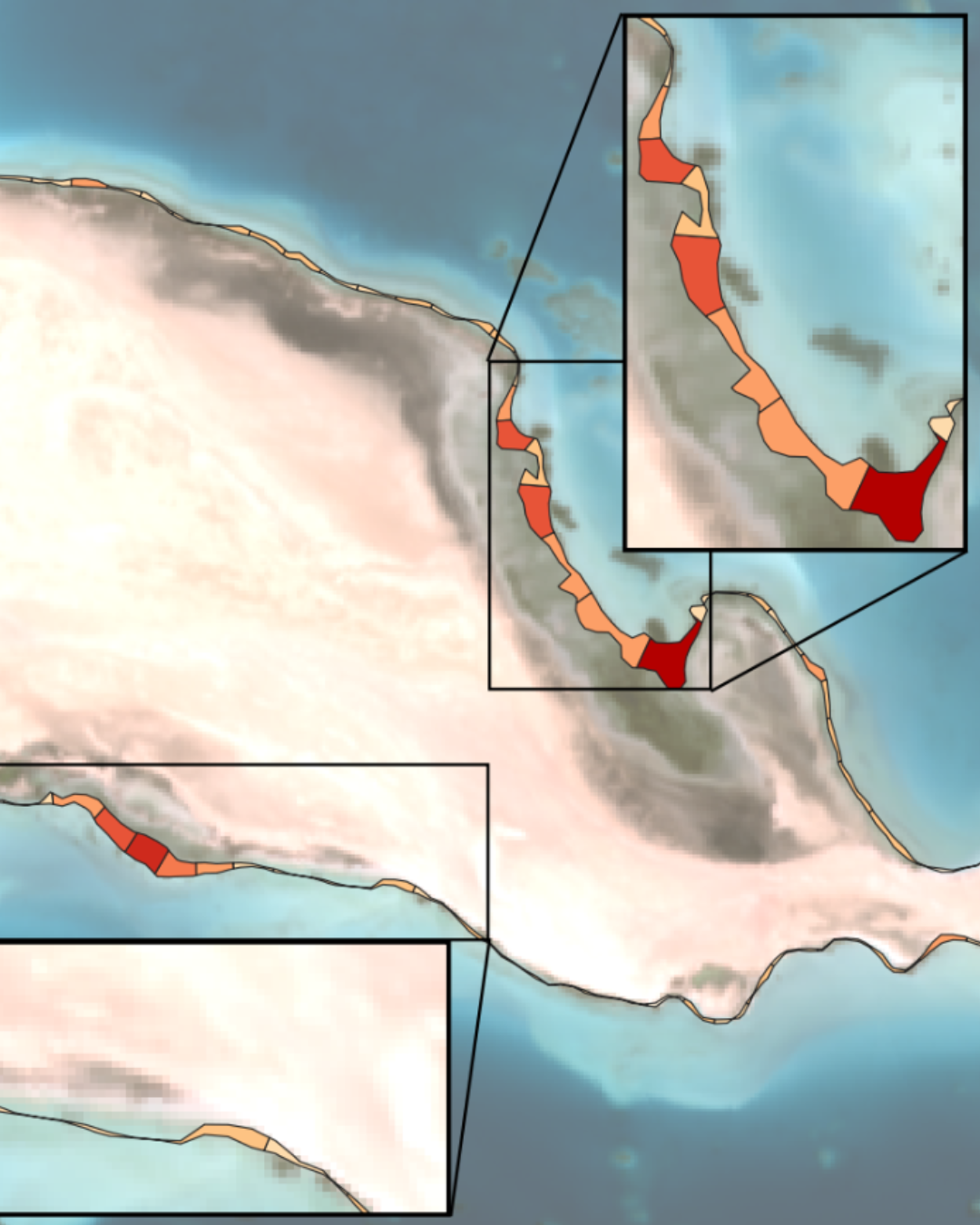
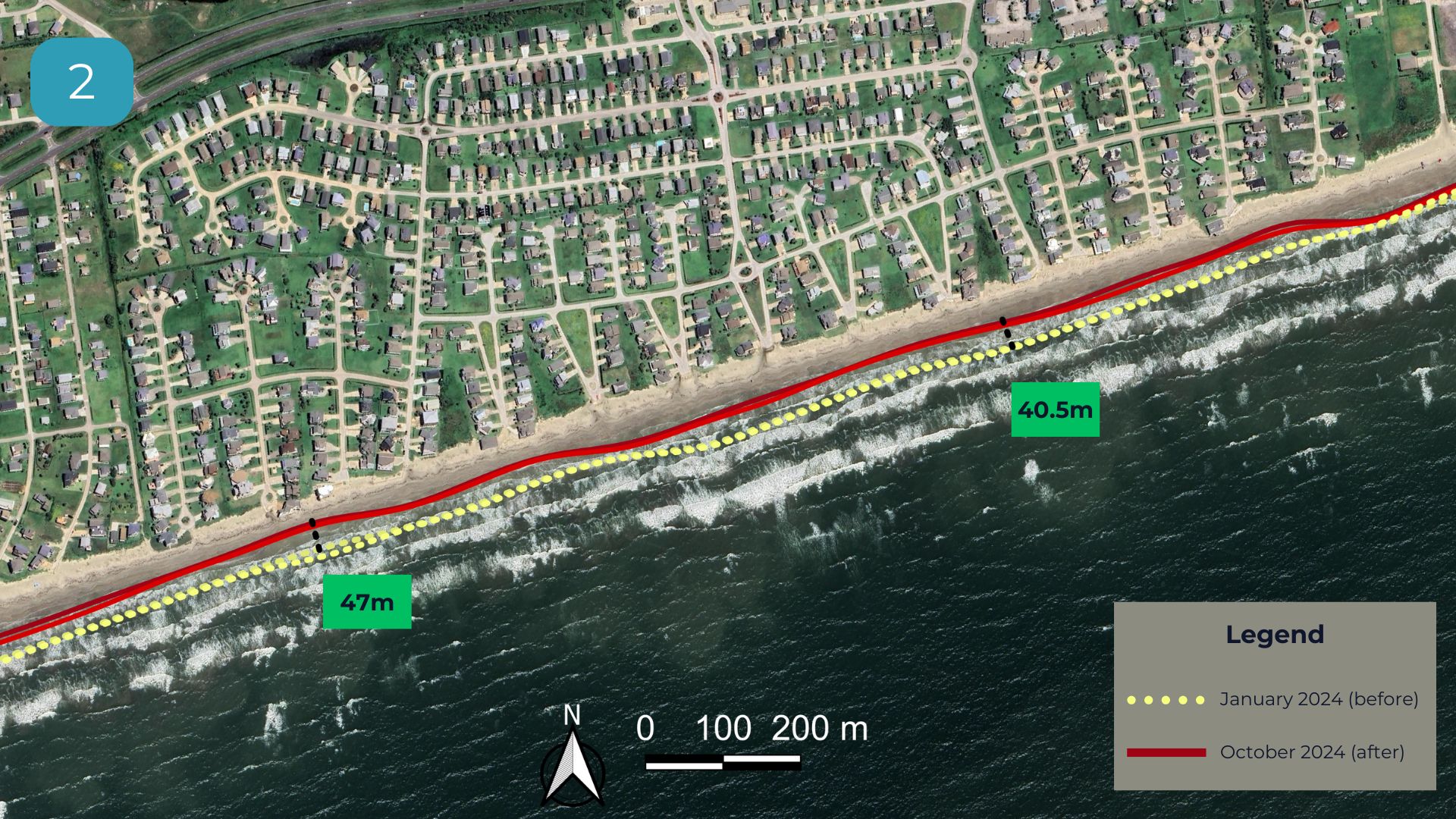
Rodanthe, a small community on North Carolina’s Outer Banks, has become a striking example of the impact of coastal erosion.
Rodanthe, a small community on North Carolina’s Outer Banks, has become a striking example of the impact of coastal erosion.

Listen to a snippet of our participation to the Mediterranean Posidonia Network's webinar on satellite-based posidonia mapping.
Listen to a snippet of our participation to the Mediterranean Posidonia Network's webinar on satellite-based posidonia mapping.
In July 2024, Hurricane Beryl hit Texas. We looked at Galveston Island and produced our own damage assessmen using our satellite-derived data products.
In July 2024, Hurricane Beryl hit Texas. We looked at Galveston Island and produced our own damage assessmen using our satellite-derived data products.

We discussed with Artemis how high-resolution geospatial analytics help the insurance-linked securities market identify long-term cat bond opportunities to cover coastal risks.
We discussed with Artemis how high-resolution geospatial analytics help the insurance-linked securities market identify long-term cat bond opportunities to cover coastal risks.

Following Cyclone Alfred, in March 2025, we looked at before and after it hit the Gold Coast and Brisbane.
Following Cyclone Alfred, in March 2025, we looked at before and after it hit the Gold Coast and Brisbane.

By extracting annual shoreline movement at 30-meter resolution going back to 1986, we looked at the erosion trends in Norfolk (UK).
By extracting annual shoreline movement at 30-meter resolution going back to 1986, we looked at the erosion trends in Norfolk (UK).

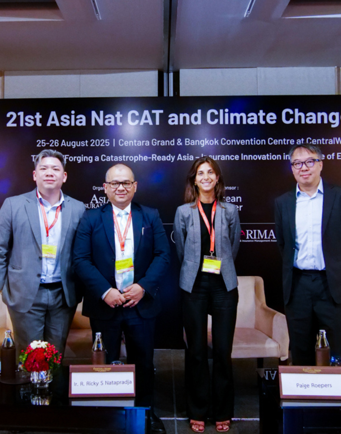
We joined a panel discussion at the MENA Ocean Conference in Dubai to explore technical approaches to natural capital accounting.
We joined a panel discussion at the MENA Ocean Conference in Dubai to explore technical approaches to natural capital accounting.

Our CEO, Paige Roepers, joined Silverstrand & Mana Impact in Singapore for a week of capacity building, networking, and expert-led workshops.
Our CEO, Paige Roepers, joined Silverstrand & Mana Impact in Singapore for a week of capacity building, networking, and expert-led workshops.
