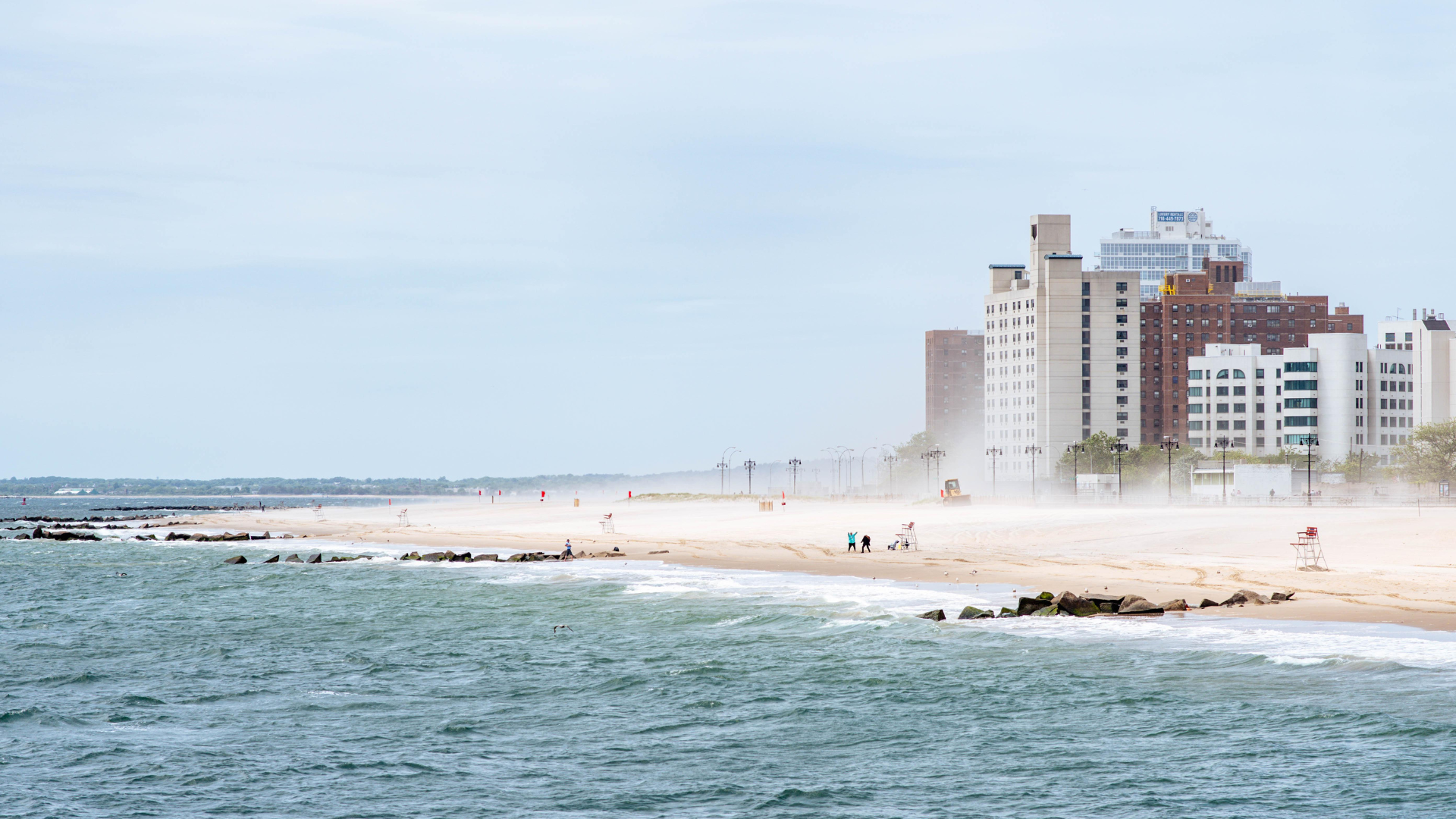
Ecosystems as natural defenses solution
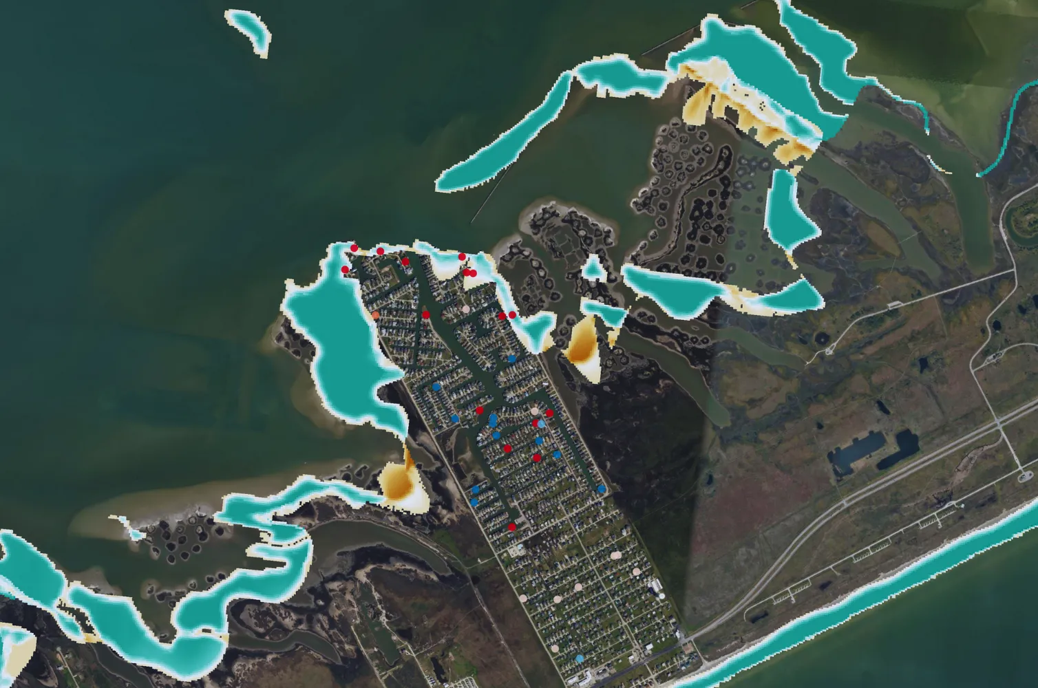
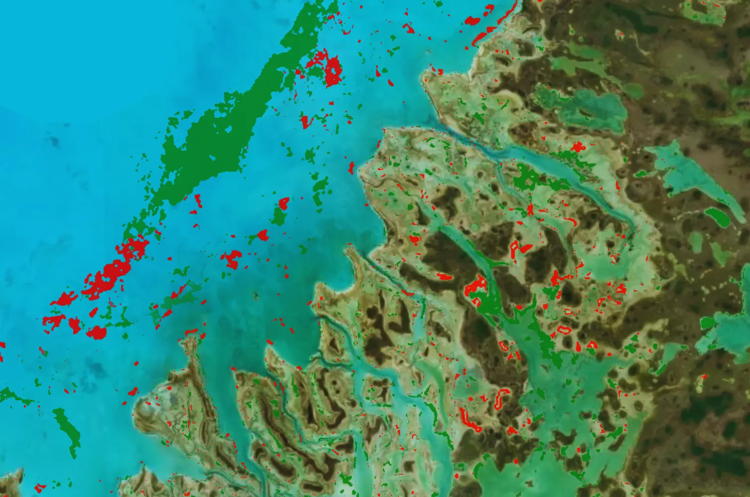
When scaled to local areas, open-source remote sensing datasets lack the accuracy and flexibility needed for nature-based solutions, and field drone surveys are too costly to cover large areas. Ocean Ledger provides projects with robust baseline classifications of coastal ecosystems, including above-ground, intertidal, and benthic zones. By integrating local knowledge and sampling methods with advanced remote sensing, we deliver the best of both approaches.
Read how we mapped over 7,800 km² of Belize's coastline, in partnership with the Government of Belize.